File:BlankMap-World-Continents-Coloured.PNG
Size of this preview: 800 × 369 pixels. Other resolutions: 320 × 148 pixels | 640 × 295 pixels | 1,420 × 655 pixels.
Original file (1,420 × 655 pixels, file size: 37 KB, MIME type: image/png)
| This is a file from the Wikimedia Commons. The description on its description page there is shown below.
Commons is a freely licensed media file repository. You can help. |
Summary
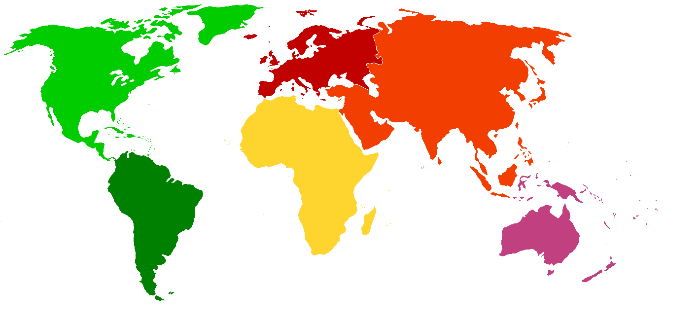
| Description | Exactly the same as en:Image:BlankMap-World-Continents.PNG, except continents coloured in and Oceania-Asia border removed. No country borders. |
| Date | 29 June 2006 (original upload date) |
| Source | Transferred from en.wikipedia to Commons. |
| Author | The original uploader was Max Naylor at English Wikipedia. |
Licensing

|
Permission is granted to copy, distribute and/or modify this document under the terms of the GNU Free Documentation License, Version 1.2 or any later version published by the Free Software Foundation; with no Invariant Sections, no Front-Cover Texts, and no Back-Cover Texts. A copy of the license is included in the section entitled GNU Free Documentation License. |
| This file is licensed under the Creative Commons Attribution-Share Alike 3.0 Unported license. | ||
| ||
| This licensing tag was added to this file as part of the GFDL licensing update. |
Original upload log
The original description page was here. All following user names refer to en.wikipedia.
- 2006-06-29 15:59 Max Naylor 1420×655×8 (37553 bytes) Exactly the same as [[:Image:BlankMap-World-Continents.PNG], except continents coloured in and Oceania-Asia border removed. No country borders.
File history
Click on a date/time to view the file as it appeared at that time.
| Date/Time | Thumbnail | Dimensions | User | Comment | |
|---|---|---|---|---|---|
| current | 08:30, 7 May 2009 | | 1,420 × 655 (37 KB) | Menasim | Greenland added to North America |
| 12:05, 10 February 2007 |  | 1,420 × 655 (37 KB) | Menasim | {{Information |Description=Exactly the same as [[:en::Image:BlankMap-World-Continents.PNG]], except continents coloured in and Oceania-Asia border removed. No country borders. |Source=Originally from [http://en.wikipedia.org en.wikipedia]; description pag |
File usage
The following page uses this file:
Global file usage
The following other wikis use this file:
- Usage on ar.wikipedia.org
- Usage on de.wikipedia.org
- Usage on en.wikipedia.org
- Usage on es.wikipedia.org